Skip links
Skip to primary navigation
Skip to content
Exibition
About Sadex
Exhibit Profile
Previous Exhibitors
Sectors
To Sponsor The Exhibition
Book Your Stand
Conerence
Conference
Agenda 2025
Visitors
Why Visit
Visitors Profile
Media
News
Gallery
Contact
X
Book Your Stand
Register To Visit
🌐
English
العربية
X
SECTORS
Transport
Short distance transport with eVTOL
Air taxi
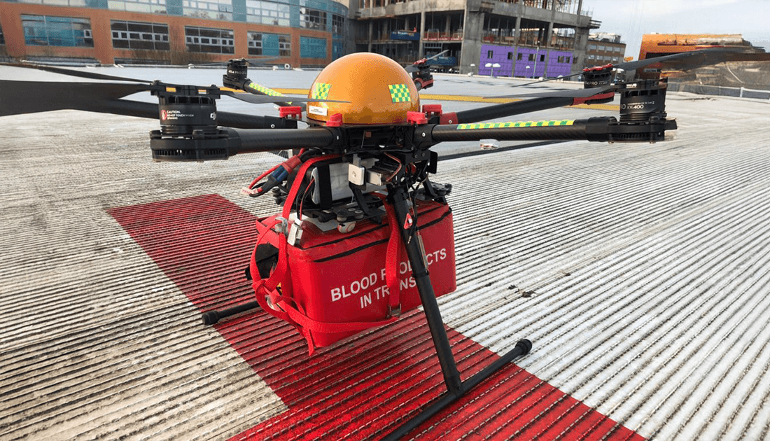
Medical Evacuation
Rescue
Crowd management
Law enforcement
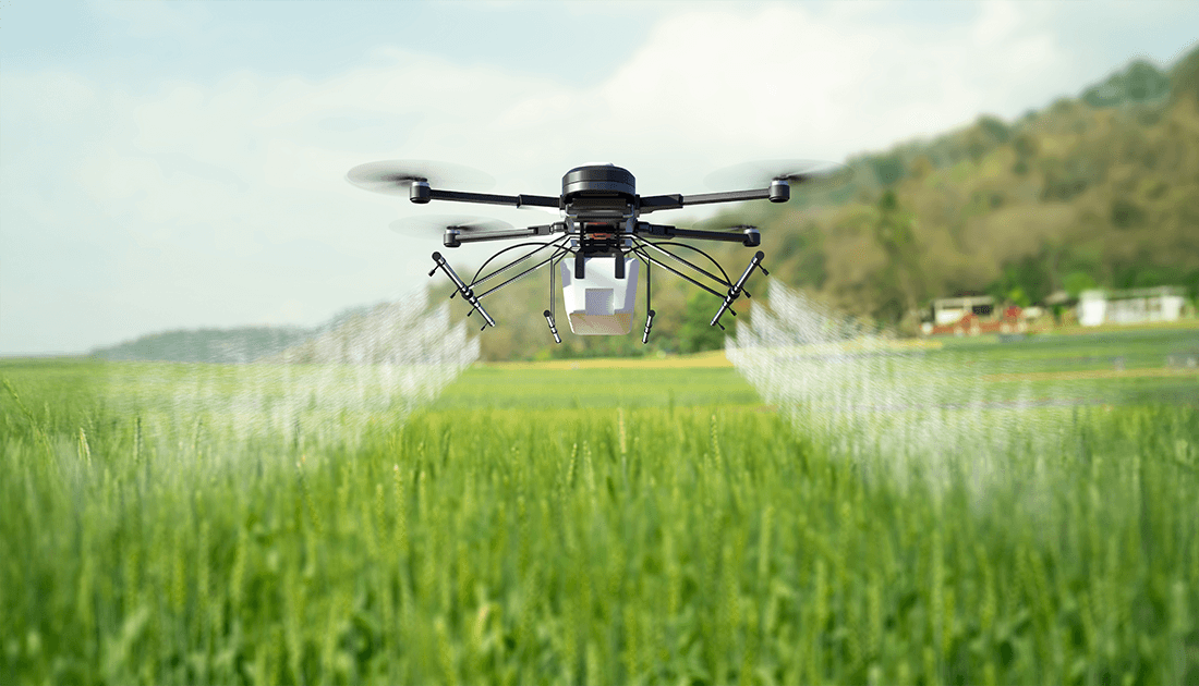
Agriculture
Crop sparing
Crop Monitoring
Application of fertilizers
Application of pesticides
Water applications
Meteorologic management
Disaster response
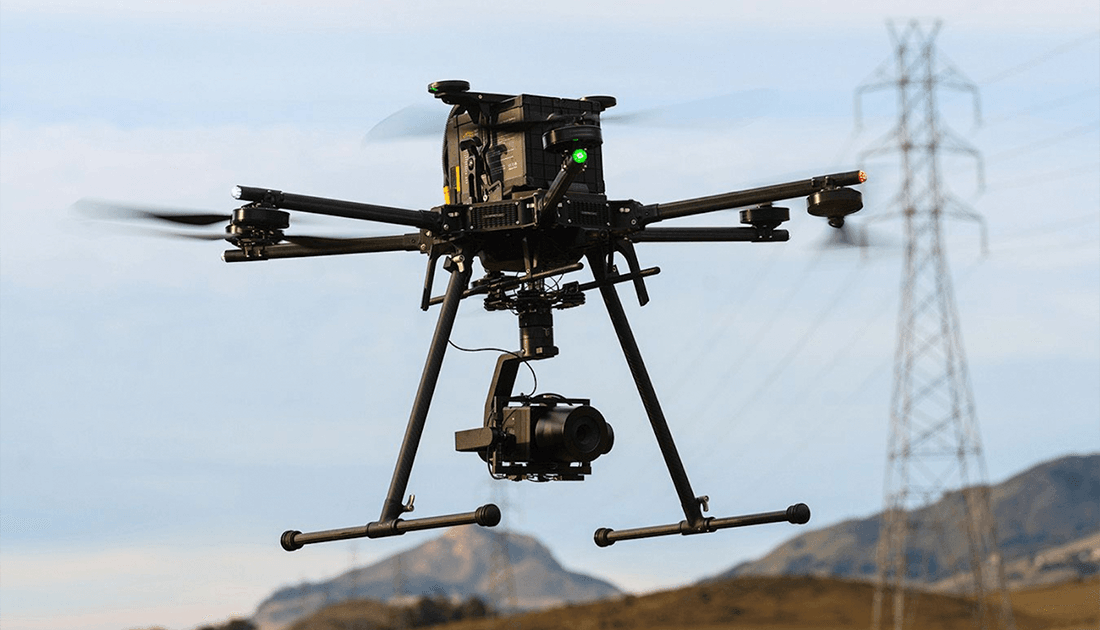
Oil & Gas
Oilfield mapping and surveying
Oil rigs and Pipeline Inspection
Refineries, and storage tanks inspection and surveillance
Environmental Monitoring
Security
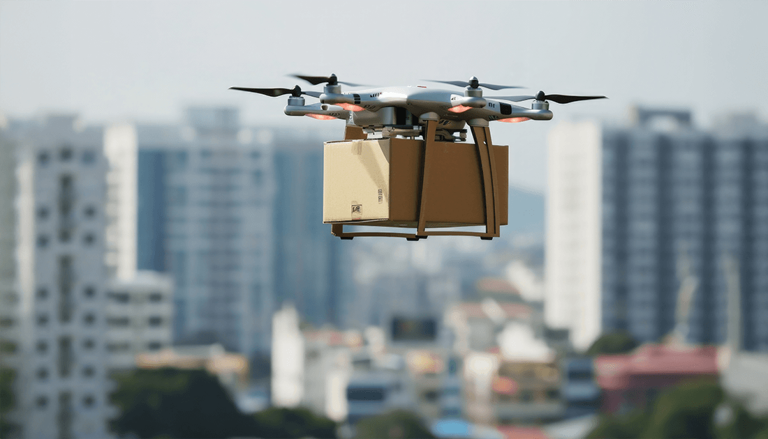
Delivery
Last mile delivery
Medical delivery
Fast food delivery
Package delivery
e-commerce good delivery
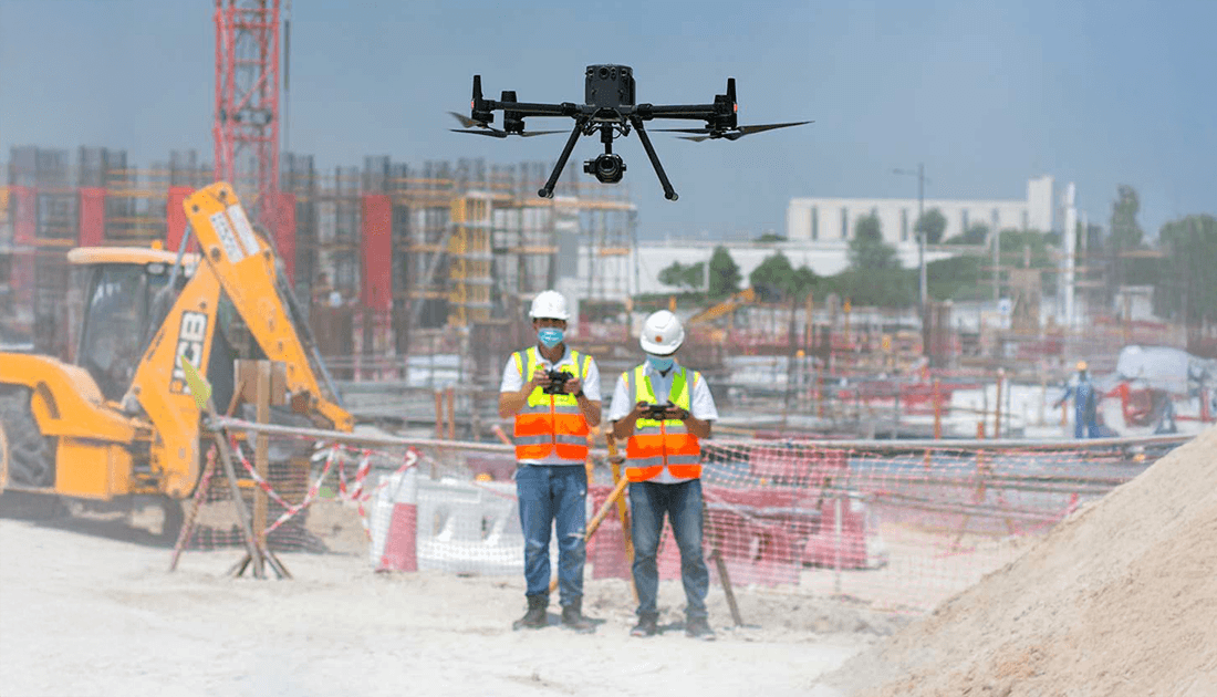
Construction
Aerial surveys.
Work Progress tracking
Infrastructures Visual inspections
Thermal imaging
Topographic mapping
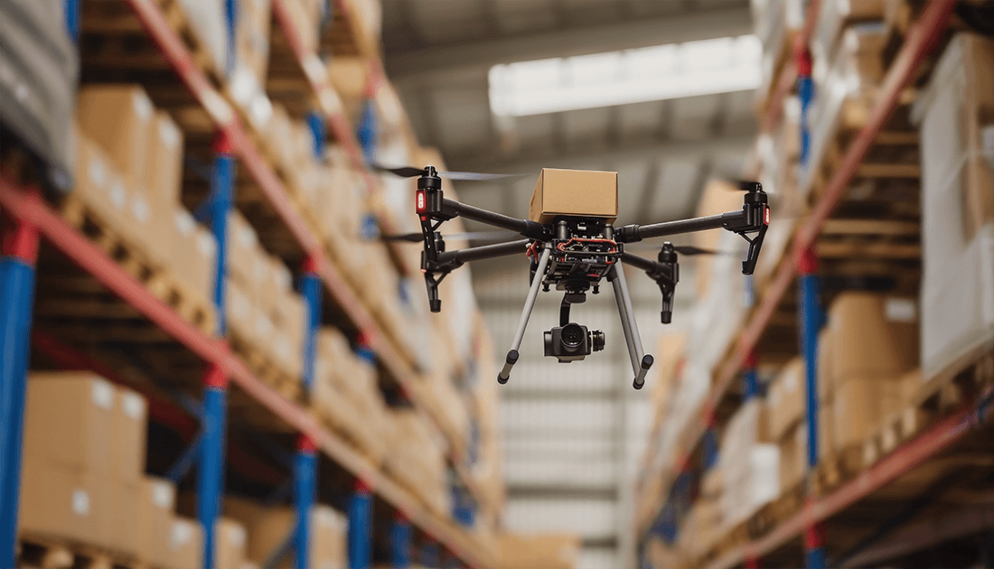
Logistics
Last-mile delivery
Remote-area delivery
Loading and unloading
Stock tracking
Warehouse management
Filming
Aerial photography
High-altitude shots
Low-angle shots
Capturing stunning aerial shots
Dynamic shots
Emergency
Locating missing persons
Surveying disaster areas
Assessing infrastructure damage
Identifying hazards
Delivering medical supplies
Fire fighting
Energy
Surveying energy sites
Inspecting infrastructure
Detecting critical issues
Detecting security threats
Detecting heat anomalies
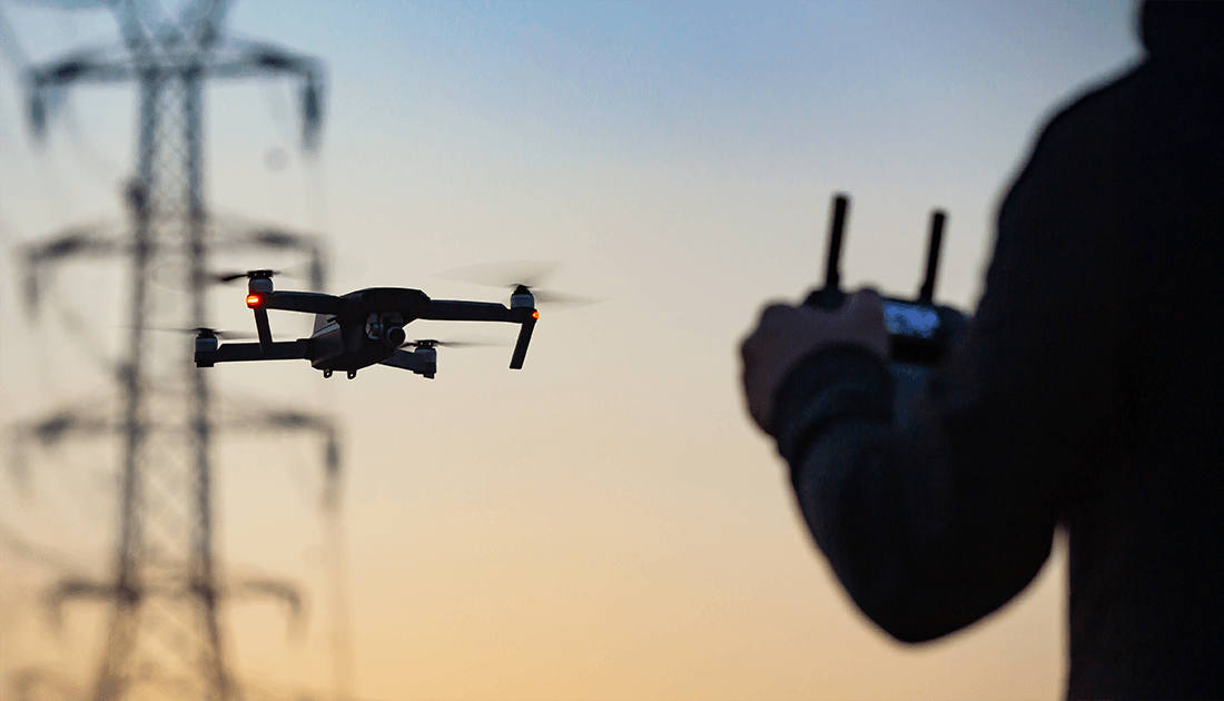
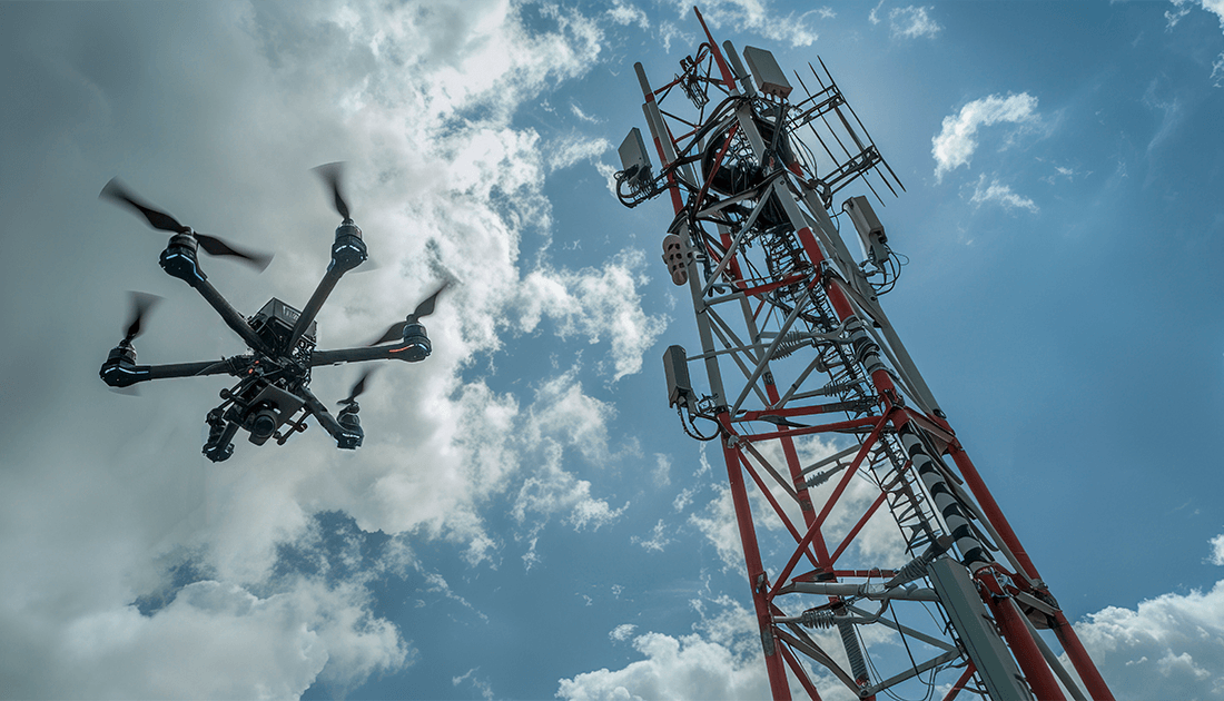
Telecommunication
Inspecting cell towers
Mapping network coverage
Identifying coverage gaps
Assessing damage
Providing temporary coverage
Planning optimal placement
Mining
Surveying and Mapping mining fields
Inspecting equipment and infrastructure
Detecting potential critical issues
Monitoring stockpile levels
Tracking Materials movements
Safety and Security
Supporting law enforcement operations
Enhancing public safety
Monitoring perimeter security
Enhancing border security
Providing situational awareness
Surveying disaster areas
This website uses cookies to improve your web experience.
Accept
Adding {{itemName}} to cart
Added {{itemName}} to cart
Loading...